PUBLIC INFOBANJIR
Infobanjir a centralized database system was developed in year 1999 and started to be used / operations in early 2000. The Infobanjir system works by collecting real-time rainfall water level data from nearly 200 hydrological stations across the country. Hydrological data from each station is transmitted to the Telemetry Database / servers in each state and then transmitted to Infobanjir. Initially, the infobanjir system operations focused or monitored and used internally, i.e: rainfall information and water levels would be monitored by DID officers only.
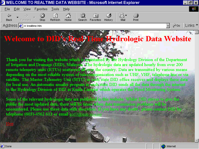
In 2001, the Infobanjir website or web base system was developed. Here the rainfall and water level information would be displayed on the website by using user interface to facilitate the public and related agencies to observe or live view the rain and water level information directly. Initially the Infobanjir website was only displaying rain and water level data real-time directly from 120 rainfall stations and 140 water level stations built across the country. In addition, the current flood information is also displayed alongside flooded areas.
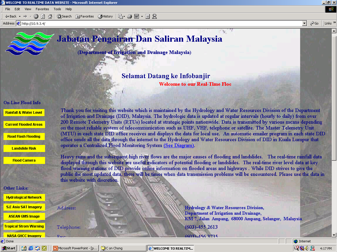
In 2002, the number of hydrological stations displayed in the Infobanjir web based system was almost 300 stations. DID also have improved the display or arrangement of the Infobanjir website so it is easier for the public to understand and navigate for information.
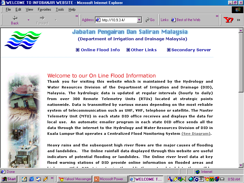
In 2005, Infobanjir’s website was improved further by improving its database and processing system capabilities. The improvement was done to improvise the operation efficiency with integration to other new systems. The number of hydrological stations displayed also increased to almost 400 stations and included stations in the Federal Territory of Labuan as well. The Infobanjir Web Based System also displays flood forecasting information and landslide risk information at selected locations. To facilitate monitoring the actual site condition real time, on line web cameras also installed along the river at several locations.
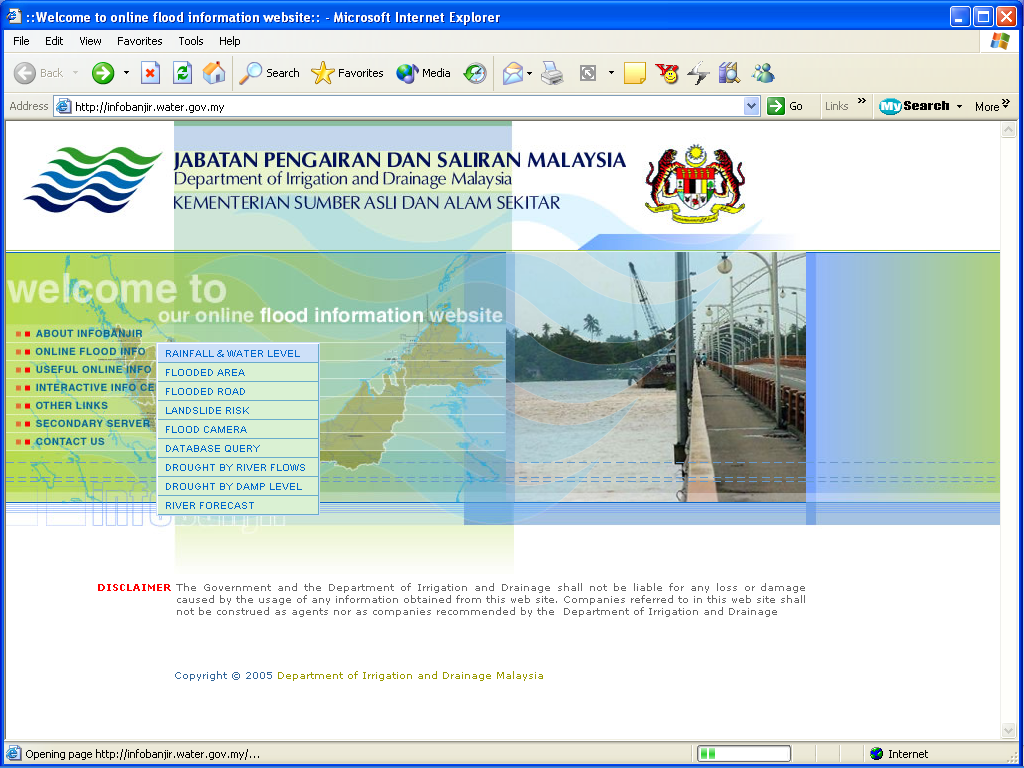
In year 2011, the Infobanjir system was modified further by developing a new web based and renamed publicinfobanjir system. The newly developed publicinfobanjir websites were focusing on flood warning information to the public by reducing technical information and incorporating the latest mediums such as facebook, twitter and RSS. Important information such as evacuation records, flood status, rainfall and river water level alert are displayed in an interactive manner. The number of observation stations is also added to almost 500 stations. The existing Infobanjir system is still maintained for the purpose of referring technical information where flood disaster agencies, universities and consultants are still using it.
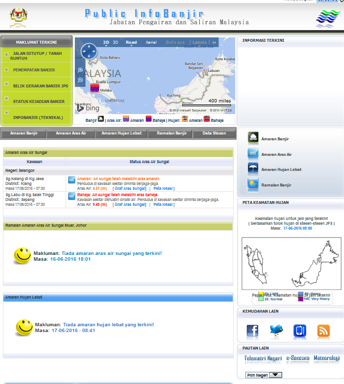
Following the large flood event occurred in 2013 in Kuantan, Pahang and Kemaman, Terengganu; JPS once again are forced to improve the publicInfobanjir system by incorporating information from the old Infobanjir system and the existing publicinfobanjir to the new Infobanjir system. The new Infobanjir system has been improved to be more focused, concise, easy-to-understand and informative display component. The database system has also been enhanced and developed by applying the latest technology which is capable of receiving and processing data in real time over a short period of time. The data are also used in conjunction with other agencies such as the National Disaster Management Agency, Selangor Water Management Authority and others.
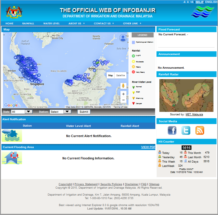
In 2014, extreme flood event occurred in several states such as Kelantan, Terengganu, Pahang, Perak, Kedah, Perlis, Johor, Sabah dan Sarawak. The event in three east coast states of Peninsular Malaysia have cost 25 lives and estimated damages of RM2.85 billion worth of losses.
Due to this event, DID has upgraded flood forecasting and warning systems across the country through the Flood Forecasting and Warning Program to be implemented within 10 years (2015-2025). With this improvement, DID have upgraded the flood information system where the publicinfobanjir website has been improved by incorporating two new elements. They are informative display and early flood warning dissemination information. Flood forecasting information, are disseminate 2 days before flood events occurred in selected locations. The forecast information are displayed more interactively, combined location maps and list of areas expected to be flooded.
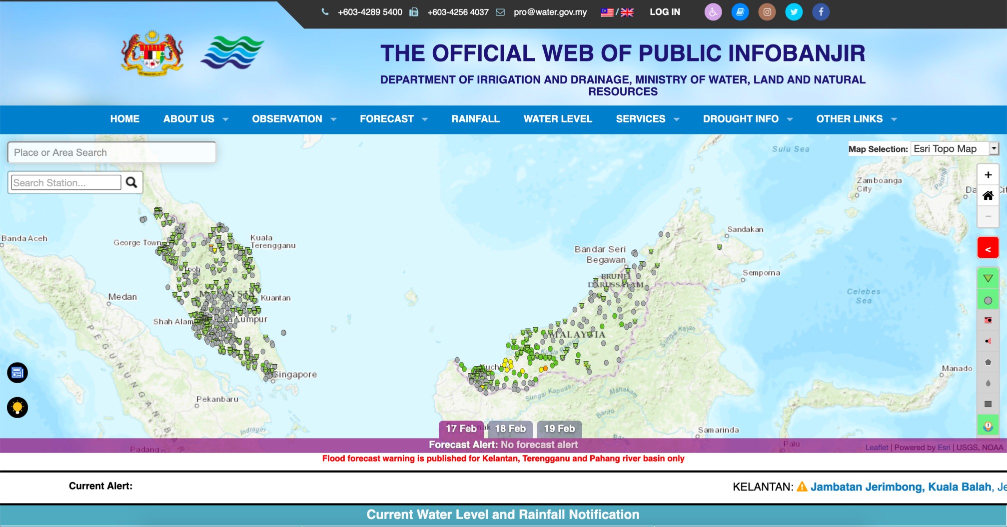
Apart from that, the current warning information on rainfall and water level information is easier to understand. The improvement also enable linkage of informative analysis information for the use of various parties, whether public, university or disaster-related agencies. The validity and verification of flood information and occurence is also supported by the real image display of river conditions in real time.
With the existence of the infobanjir to Publinfobanjir system that has been in operation for more than 20 years, it has helped the communities especially flood victims and rescue agencies to act early in the event of flood occurrence. The Department of Irrigation and Drainage is always committed and working full heartedly to improve and deliver the flood information system in line with the development of information technology towards faster, effective, efficient and more extensive information system.
National Flood Forecasting and Warning Centre (PRABN)
Water Resources and Hydrology Division
Department of Irrigation and Drainage, Malaysia

